Features
ADELIE Import
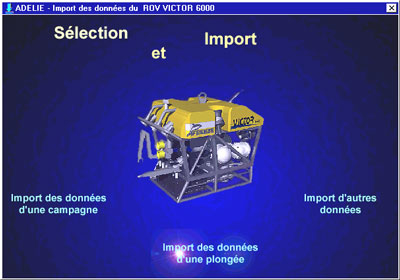
Converts underwater vehicle raw data into thematic files which can be processed directly by most common PC tools (Excel, ArcMap, etc.):
- navigation,
- attitude,
- events,
- measurements,
- observation descriptions,
- etc.
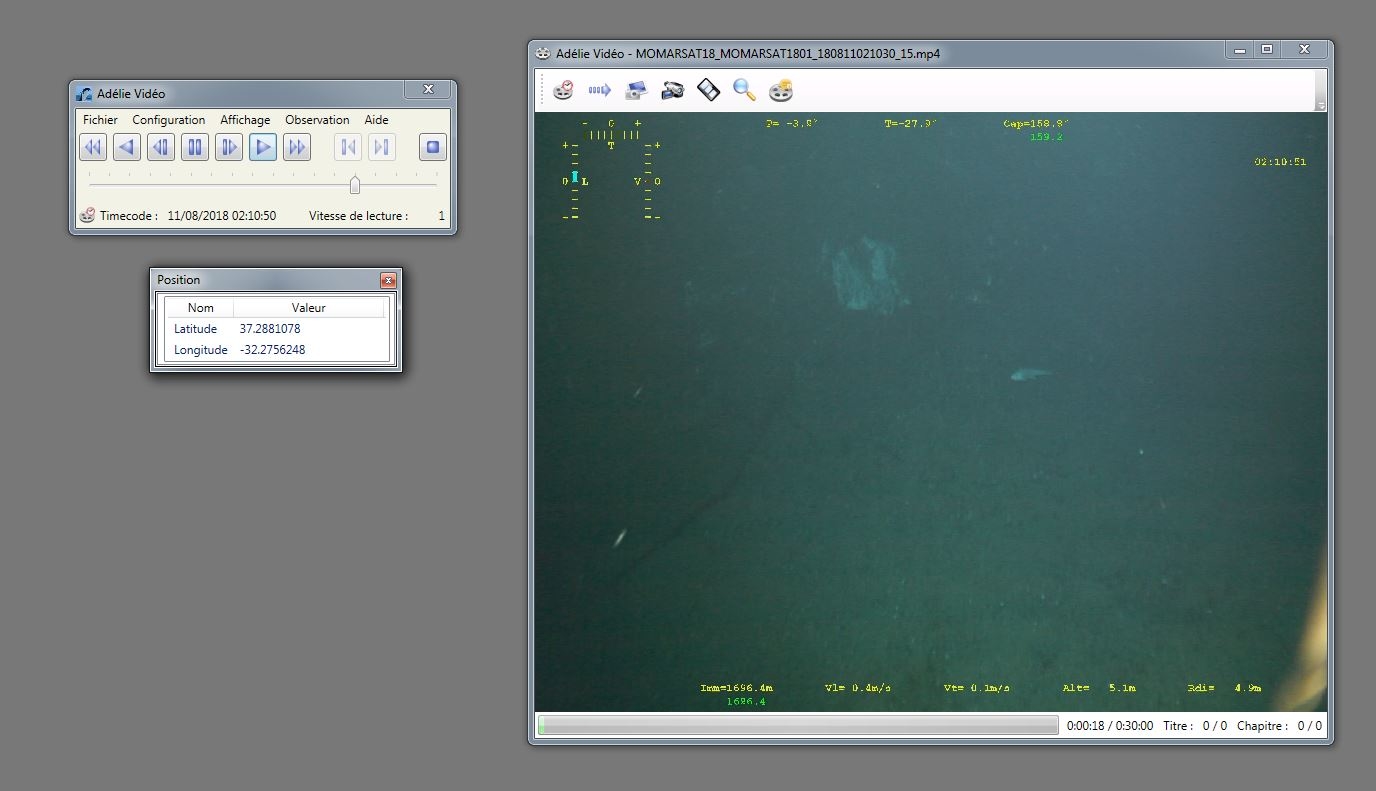
ADELIE Vidéo
Video Recorder control software which can :
- synchronise up to 3 tapes with the dive data,
- capture new video still images and sequences,
- create video tape summaries automatically,
- see data in dive time on numeric or graphic forms.
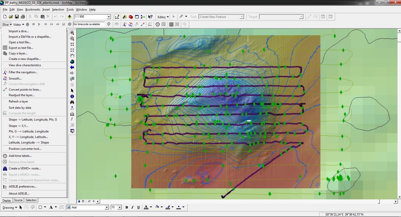
ADELIE SIG
Based on ArcView® Geographic Information System, ADELIE GIS has many functions which can display and process multimedia information. You can:
- Filter and smooth vehicle navigation,
- Visualize images and their characteristics,
- Comment an image,
- Pilot the vidéo from the SIG,
- Visualize dive characteristics,
- Visualize all images of a dive and outline of their geographical position,
- Visualize images and their characteristics,
- etc.